OCR Tools
Open Climate Research is an ongoing project that aims to facilitate creative experimentation with modeled climate data. OCR Tools aims to be much more than a climate data viewer by enabling non-scientists to utilize a wide range of datasets and providing users with simple feedback conducive to learning. In addition to providing basic analysis functions, OCR Tools includes organizational and creative tools.
Installing / Getting started
Run the following to install:
pip install ocrtoolsExamples
-
Open a NetCDF dataset with
-
import ocrtools as ocr
cesm_TS = ocr.load('path/to/cesm_TS_data.nc', var='TS')
If
varis omitted, ocrtools will print out all variables in the dataset and ask you to specify a variable(s) of interest via command line. The dataset is then opened as an Xarray Dataset -
Create a
scopeobjectlima_peru = ocr.scope(location='Lima, Peru', yr0=1950, yrf=2000)
- Location can also be specified by keyword arguments
lat_min,lat_max,lon_min, andlon_max; or if none of these are given, location can be specified interactively by selecting areas on a map
- Location can also be specified by keyword arguments
-
Subset your data
lima_TS = ocr.subset(cesm_TS, lima_peru) -
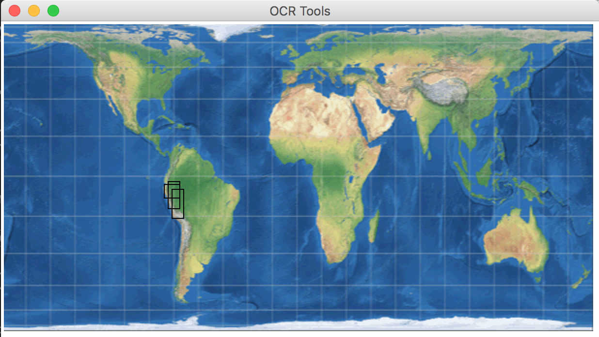
Select an area on a map and take the spatial average
from ocrtools import plt
map_selection = ocr.scope()
[OCR] Creating new scope object
Enter yr0:
Enter yrf:
Select area(s) on map and close the pop-up window
[OCR] Finished writing new scope objectperu_TS = ocr.subset(cesm_TS, map_selection)
peru_avg_TS = ocr.spatial_average(peru_TS)
peru_avg_TS['TS'].plot()
plt.show()