gridfinder uses night-time lights imagery to as an indicator of settlements/towns with grid electricity access. Then a minimum spanning tree is calculated for these connect points, using a many-to-many variant Dijkstra algorithm and using existing road networks as a cost function. Adapted from this work from Facebook. Currently gridfinder only uses road networks, but it would be trivial to add other cost parameters such as slope or terrain.
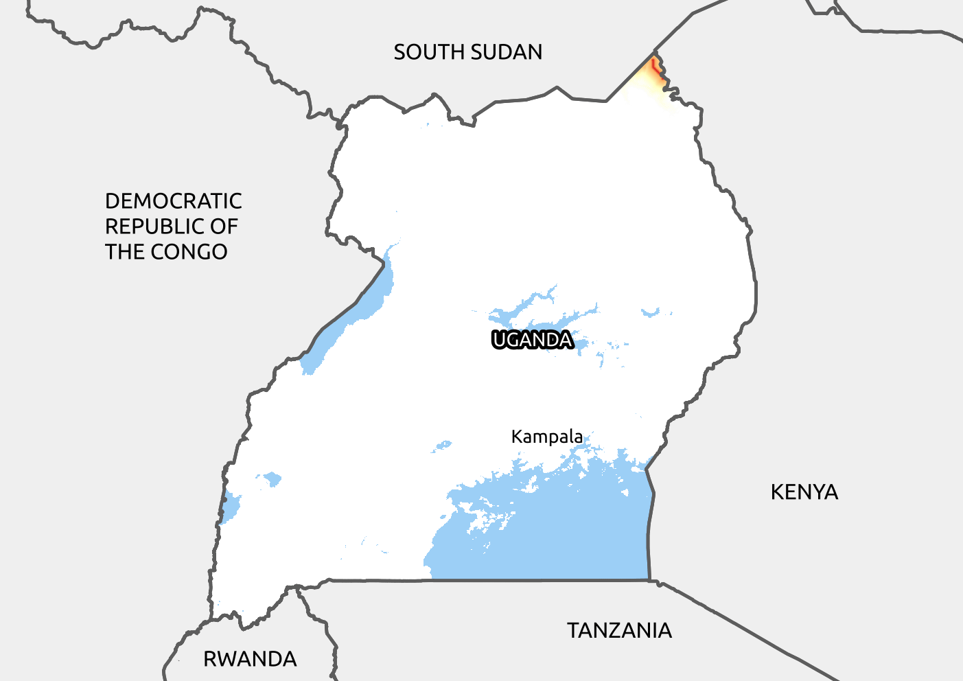
The algorithm looks as follows in process, guessing the grid network for Uganda:
gridfinder requires the following data sources:
- VIIRS data, monthly and annual composites available here.
- OSM highway data, most easily available using the HOT Export Tool, otherwise geofabrik
To get to grips with the API and steps in the model, open the Jupyter notebook example.ipynb.
This repository includes the input data needed to do a test run for Burundi, so it should be a matter of openening the notebook and running all cells.
pip install gridfinderNote: On some operating systems (Ubuntu 18.04), you may get an error about libspatialindex. To overcome this on Ubuntu, run:
sudo apt install libspatialindex-devDownload or clone the repository and install the required packages (preferably in a virtual environment):
git clone https://github.com/carderne/gridfinder.git
cd gridfinder
rye sync
Useful commands:
rye fmt
rye lint
rye run check  # type check
rye run test

![dependabot[bot]](https://avatars.githubusercontent.com/u/49699333?size=120)